Citation
Item Location
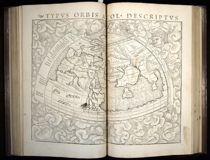
Although best known for his astronomy, Ptolemy (2nd century) brought the same mathematical methods to bear on various topics, including optics, geography, and astrology. This is the first printed edition of his geography, which established mathematical methods in cartography. In his map of the world, the Mediterranean basin provided a model for the Indian ocean, which he guessed might be similarly enclosed. This assumption was disproved by Spanish and Portugese explorers. The early modern discovery of the increased extent of land-areas of the globe led to a dramatic expansion of the data of natural history.
Related Items
Resource Type: Book


